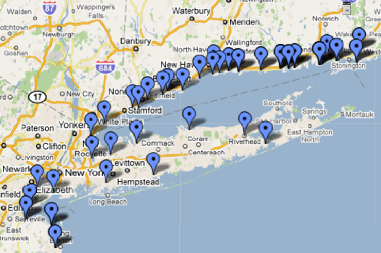
12.12.2013

Overthinking

CREATED/ 
I finally got my trip plotted out.
My very rough itinerary has me driving for 30 days. That would be 30 days straight, not yet factoring in social visits + detours, my high school reunion, maybe an art colony stay. Next I'll fine tune it, after I get the exact dates that I'll be staying with my mom in South Carolina.

While I wait for my Narrative camera, I've been doing a lot of staring out the kitchen window as the sun rises. (In reality, I've been staring out that window for 13 years -- ever since I moved in).
6:12am
6:34am
I've been scrutinizing the time, how soon before actual sunrise it starts getting light, etc.

As I contemplated the scene, I started thinking, "Yeah. This is what I'll be capturing as I drive down PCH for my test run." Then it dawned [sorry, couldn't resist] on me that this window faces SOUTH. I will be driving down the coast capturing dawn to the WEST. I've been looking out the wrong window!
Then I got a grip on myself. I've got the 120 miles from Santa Monica to San Diego looking to the west and then I'll be on the southern perimeter. Which is what I'm looking at from this window. Not doing it all wrong after all!

Have I made your head hurt yet?

10.19.2013

Gear: Still Waiting

LINKS/ 
Very soon, my new little time lapse clip-on camera will arrive. Since I last posted, the company had to change the name to Narrative due to potential legal actions. I'm looking forward to road testing it!
Update: Argh! Pushed out until 12/16. Oh the anticipation!

2nd Update, 12/14: Now pushed out until 2/17. WAY too close to my departure date.
Must figure out a Plan B STAT.

3rd Update, 1/25: Relieved that ETS is the same as last month.

4.18.2013

Gear: Memoto Lifelogging Camera

LINKS/ 
I think I've found my camera for the trip:
I just bought preordered the camera for my trip:
[photo + logo grabbed from Memoto's press kit]
I first learned about the Memoto on Kickstarter last October. It sounded like a really cool concept: a tiny digital camera that takes a photo every 30 seconds with geolocating and cloud storage. No need to offload anything to my laptop or an external hard drive! No need to convert data-heavy video files! The option to share road photos while I'm on the road! Yes, sign me up! At the time, I was too broke to pledge the $249 for one. But I never forgot it. It haunted my road trip visions.

So today I pre-ordered a graphite grey one (I'd love an orange one, but am being practical and thinking about window reflections). As soon as it arrives, I'll take it for a test drive down PCH, from Point Mugu to Santa Monica. Stay tuned!

Note: I have received no compensation from Memoto for this post.

3.05.2013

Mapped: FL > SC

LINKS/
Florida to South Carolina is going to take 4 days, according to Roadtrippers.com, a site I just read about in the LA Times. [Above is a composite of the 4 separate legs, which is why it looks a bit strange].

I thought I'd give the site a try, since I made such a hash of my Google map seen on the previous post. Roadtripper also uses Google maps, so I was in a familiar space (having already mapped these parts TWICE already). You enter your Start and Destination (just like Google) and your route gets plotted the quickest way possible (just like Google), typically on Interstates. I found it easier to make and move extra markers off the Interstates to the US highways in Roadtripper. It was also MUCH easier to smooth out any circling tangles that sometimes occured (ALWAYS an issue when I use Google).
reenactment achieved in Google Maps in under one minute
There are more features in the site, which I'll explore further later (local attractions, eats, accommodations, etc). First, must map!

Notice that I broke one of my "rules" of not doubling back on any roads. "But it's Key West!"
I've never been to Key West, I've been curious about that stretch of US1 that threads across the keys, and when will I be again driving so close? Never, most likely. Rules are made to be broken, right?

1.28.2013

Mapped: Southern EDGE

[click to see bigger]
I finally sat myself down with Google Maps (yet again) to start plotting my route. One can only route out 26 stops (for directions, mileage and estimated duration), so I stopped at Panama City, FL.
I'd made a previous map in 2011 which got messed up (as often happens with my Google maps. In fact, I managed to erase all my work above. ARGH! Thank goodness I made a screen shot that included my plot points! I will have to do it YET AGAIN). Anyway, as I was saying, along with being messed up, the 2011 map was plotted with the plan of driving at State highway level. VERY INTIMIDATING!
Look at Connecticut:
CT wore me out. I couldn't face the rest of New England after CT.
Really. Plotting CT made me realize that THE TRIP WOULD TAKE FOREVER!
So I let it rest for a couple of years!

Going as local as State highways is much saner.
Except when I get to Maine. We will avoid that subject for now. Denial can be a blessing.
In fact, I was surprised that from my home to Van Horn, TX, it's pretty much the same highways that I would take on any road trip (if I were to go via San Diego, that is).
I even know how long that section will take! 2-3 days!
Not so scary after all! (She says with optimism).
Next: Florida...

1.07.2013

Greetings From: 90066

LINKS/ 
Big new project! [originally posted here on 6/10/10]

I've told some of you about the Big Road Trip that I'm plotting for 2014. I'm calling it "On the Edge" and just now registered the domain on-the-edge.us. After I figure out the "Name Server" stuff, I'll have linkage.
I plan to circumnavigate the US by car on State Highways as close as possible to the perimeter of the contiguous 48 US states. (I might actually have to start earlier, since I want to be in South Carolina in March when my Mom is there). I'm going to crowd fund it on IndieGoGo and need to figure out what kind of artwork I'm going to generate out on the road for donor rewards and such.

The California coast provides a good stretch of highways that are conveniently close to my abode, so I'm using them to perform experiments. Part of my concept is to tape the entire journey out the passenger side window. I obtained a cheap webcam that I can attach to my laptop to directly download the video to my hard drive. I gave it a test run when we drove to Encinitas a few weeks ago.
Reenactment of setup
(hope it's obvious webcam not on!)
On Friday, I was stuck with a long Dr visit wait and took along the laptop to try to see what art I could come up with. I scanned quickly through the footage and found this bit with a slice of the Pacific:
The screen grab from the video
First idea: sketching from screen grab.
Verdict: too drab, needs color.
Next idea: Repaint image in Corel Painter
Verdict: LIKE!
Note to self: next time, attach the Wacom tablet -- finger twiddling on laptop is DIFFICULT
I feel like I'm off to a good start.
Next, I need to spray paint the webcam black to cut down on window reflections and make some kind of rigid platform to hold the laptop.
I'll try it out on Oxnard to Santa Monica on PCH/CA 1. Stay tuned!