1.28.2013

Mapped: Southern EDGE

[click to see bigger]
I finally sat myself down with Google Maps (yet again) to start plotting my route. One can only route out 26 stops (for directions, mileage and estimated duration), so I stopped at Panama City, FL.
I'd made a previous map in 2011 which got messed up (as often happens with my Google maps. In fact, I managed to erase all my work above. ARGH! Thank goodness I made a screen shot that included my plot points! I will have to do it YET AGAIN). Anyway, as I was saying, along with being messed up, the 2011 map was plotted with the plan of driving at State highway level. VERY INTIMIDATING!
Look at Connecticut:
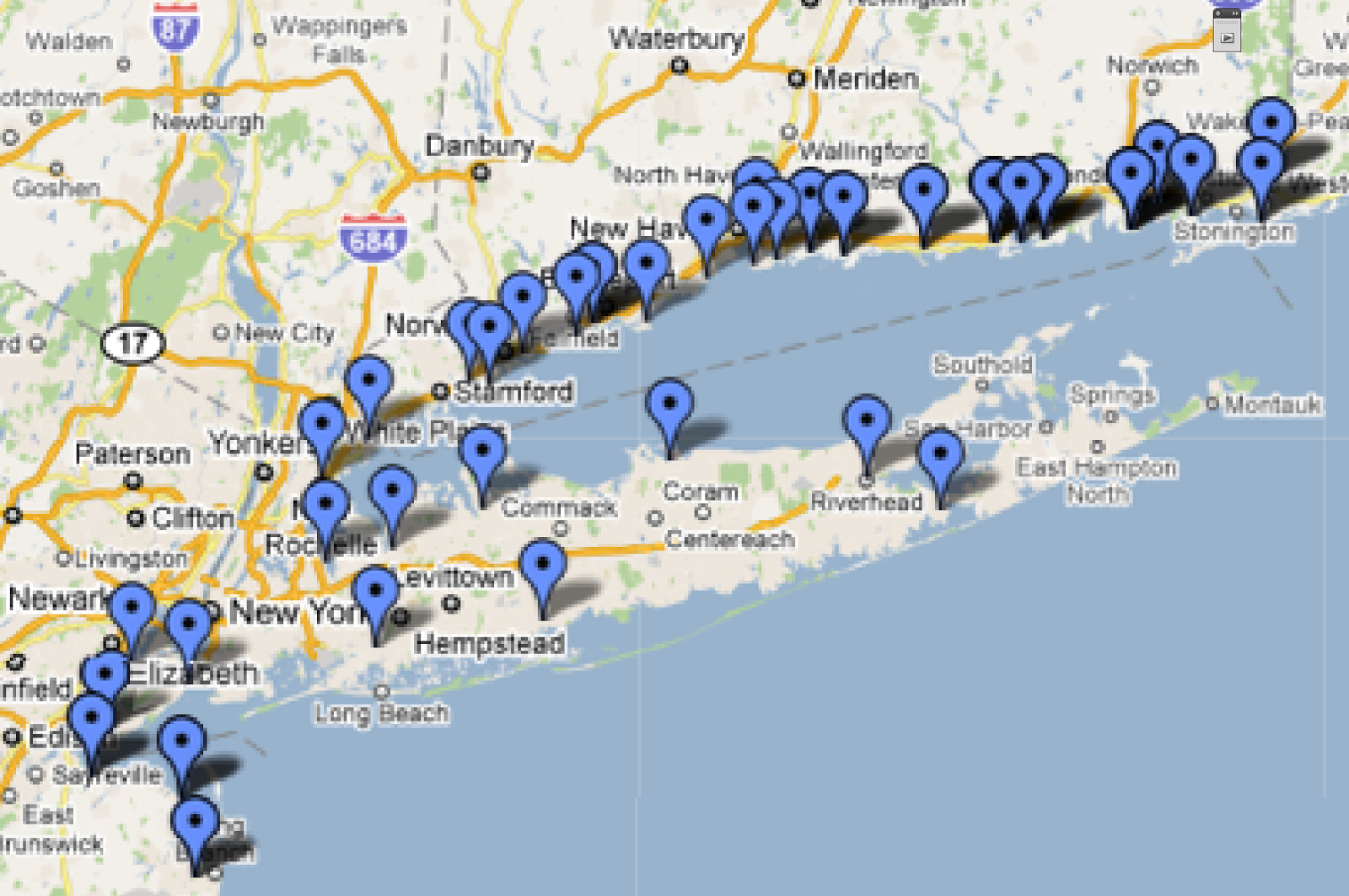
CT wore me out. I couldn't face the rest of New England after CT.
Really. Plotting CT made me realize that THE TRIP WOULD TAKE FOREVER!
So I let it rest for a couple of years!

Going as local as State highways is much saner.
Except when I get to Maine. We will avoid that subject for now. Denial can be a blessing.
In fact, I was surprised that from my home to Van Horn, TX, it's pretty much the same highways that I would take on any road trip (if I were to go via San Diego, that is).
I even know how long that section will take! 2-3 days!
Not so scary after all! (She says with optimism).
Next: Florida...

1.07.2013

Greetings From: 90066

LINKS/ 
Big new project! [originally posted here on 6/10/10]

I've told some of you about the Big Road Trip that I'm plotting for 2014. I'm calling it "On the Edge" and just now registered the domain on-the-edge.us. After I figure out the "Name Server" stuff, I'll have linkage.
I plan to circumnavigate the US by car on State Highways as close as possible to the perimeter of the contiguous 48 US states. (I might actually have to start earlier, since I want to be in South Carolina in March when my Mom is there). I'm going to crowd fund it on IndieGoGo and need to figure out what kind of artwork I'm going to generate out on the road for donor rewards and such.

The California coast provides a good stretch of highways that are conveniently close to my abode, so I'm using them to perform experiments. Part of my concept is to tape the entire journey out the passenger side window. I obtained a cheap webcam that I can attach to my laptop to directly download the video to my hard drive. I gave it a test run when we drove to Encinitas a few weeks ago.
Reenactment of setup
(hope it's obvious webcam not on!)
On Friday, I was stuck with a long Dr visit wait and took along the laptop to try to see what art I could come up with. I scanned quickly through the footage and found this bit with a slice of the Pacific:
The screen grab from the video
First idea: sketching from screen grab.
Verdict: too drab, needs color.
Next idea: Repaint image in Corel Painter
Verdict: LIKE!
Note to self: next time, attach the Wacom tablet -- finger twiddling on laptop is DIFFICULT
I feel like I'm off to a good start.
Next, I need to spray paint the webcam black to cut down on window reflections and make some kind of rigid platform to hold the laptop.
I'll try it out on Oxnard to Santa Monica on PCH/CA 1. Stay tuned!